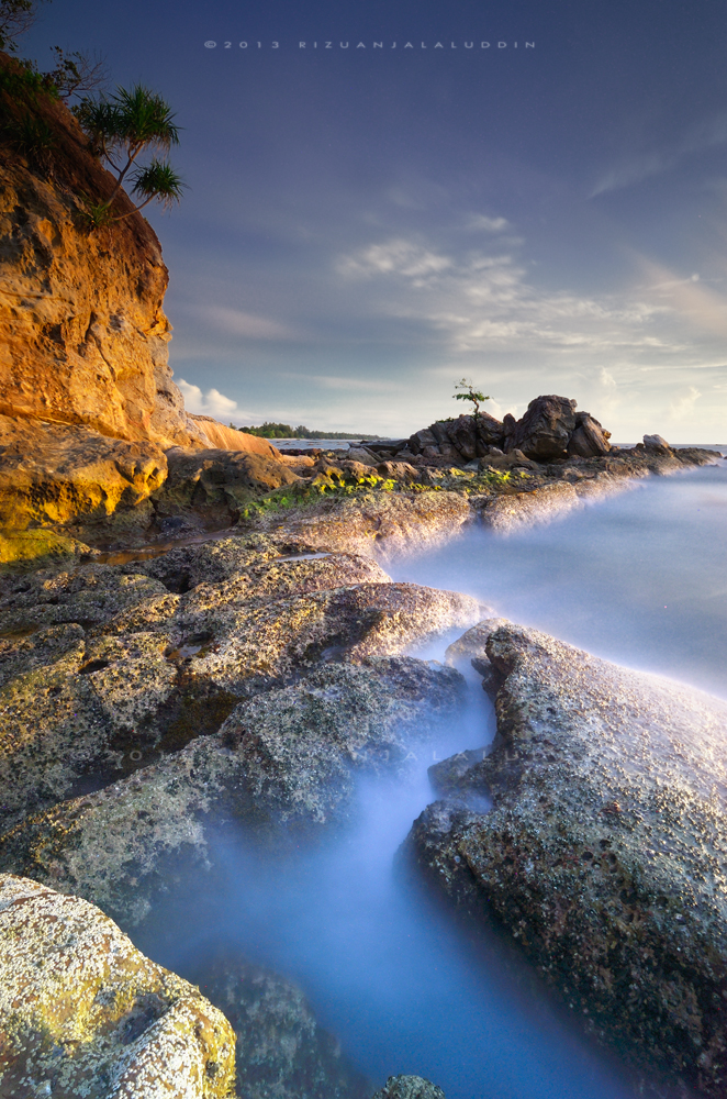
Geopark Kebangsaan Labuan
402 kilometer persegi sejarah hidup bumi merentangi 35 juta tahun. Terokai batuan turbidit laut dalam purba, tebing batu pasir Formasi Belait, paya bakau terpelihara, terumbu karang hidup, dan warisan budaya maritim.
Harmony of Geology, Nature & Living Culture
Labuan Geopark weaves three foundational elements under UNESCO-recognized sustainable development concepts.
1. Geodiversity
9 GeositesExposed formations of Belait & Temburong: dramatic folded sea stacks, wave-carved arches, oil reservoir analogs, and 15-million-year-old historic coal seams.
2. Biodiversity
3 BiositesKinabenuwa mangrove wetlands with scenic boardwalks, marine coral sanctuaries, green & hawksbill turtle hatcheries, and coastal casuarina forests.
3. Cultural Heritage
Heritage Sites19th-century Chimney red-brick monument, traditional Brunei Malay water villages built on ironwood stilts (kaki bajang), and WWII historical memorials.

Labuan Geopark
A 402 km² National Geopark spanning 35 million years of Earth history.

Tanjung Kubong Geosite
Dramatic folded rock, sea stacks and tidal platforms.
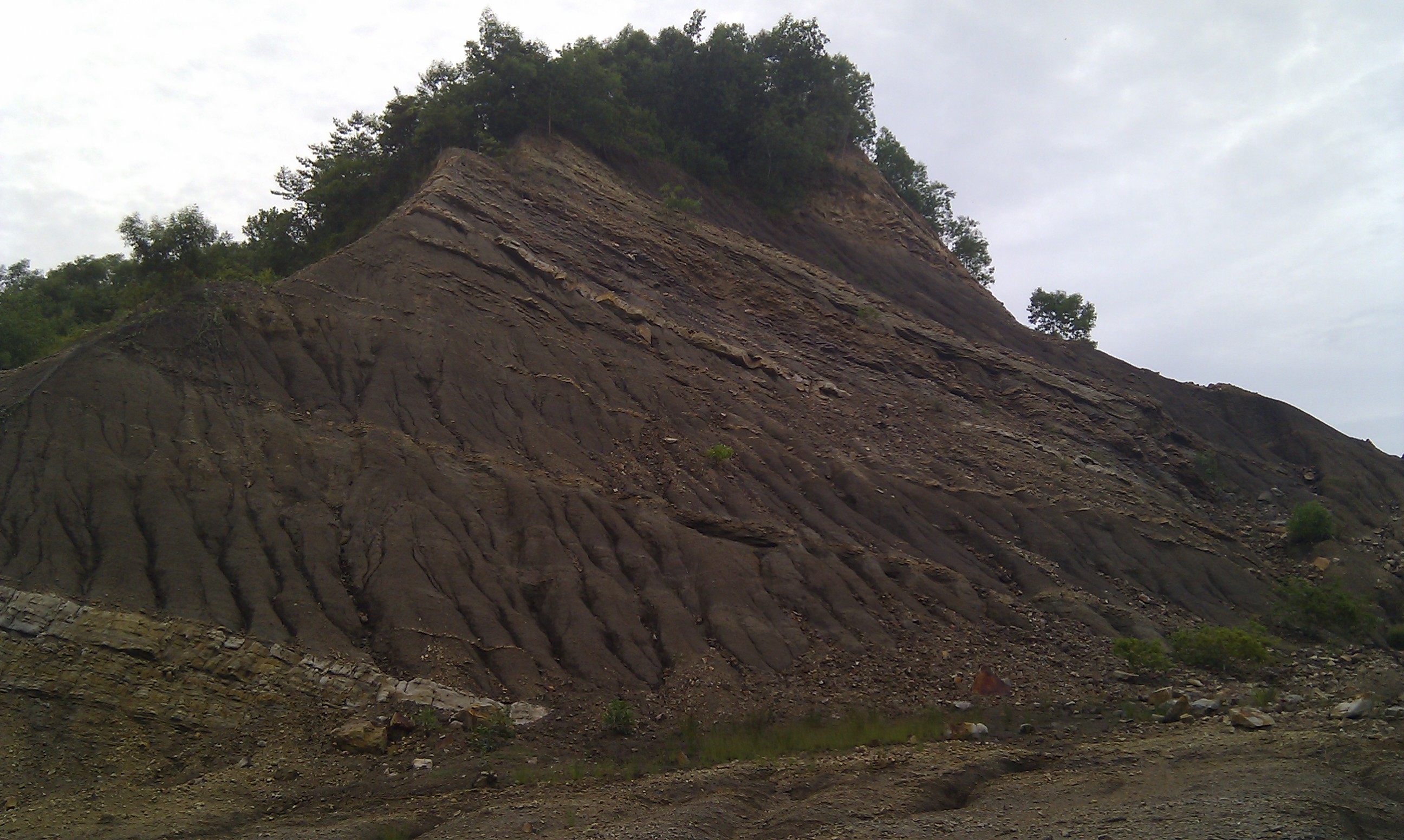
Bukit Kubong Geosite
The island’s highest point, with exposed sandstone and mudstone sequences.
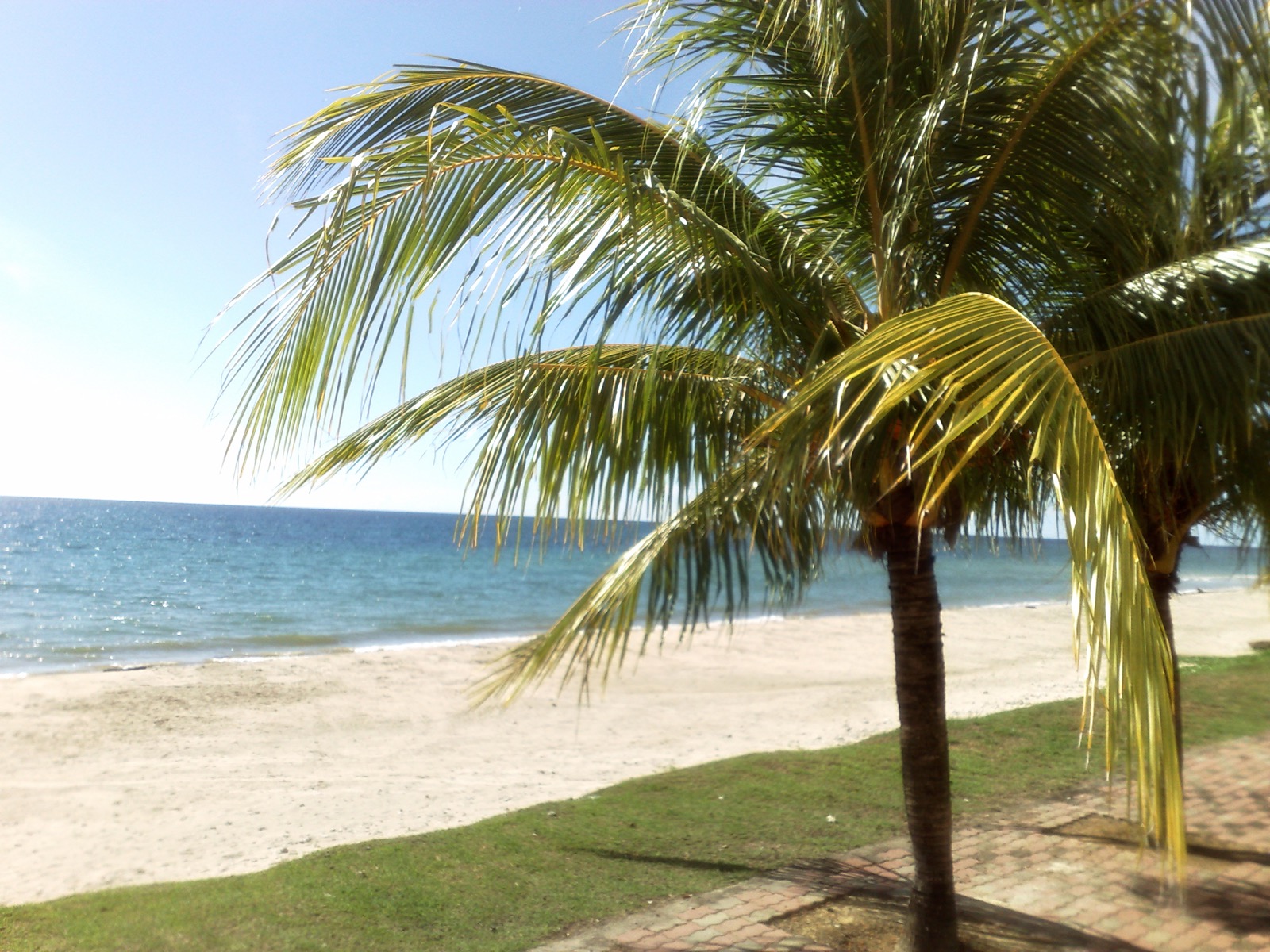
Bebuloh Laut Geosite
Ancient channel deposits and cross-bedding patterns at low tide.
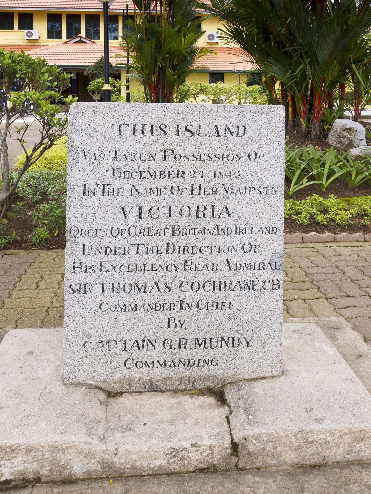
Bebuloh Darat Geosite
Road cuttings and exposed hillsides revealing the island’s sedimentary foundations.

Tanjung Aru Geosite
Rock platforms and fossilised marine sediments facing Brunei Bay.